
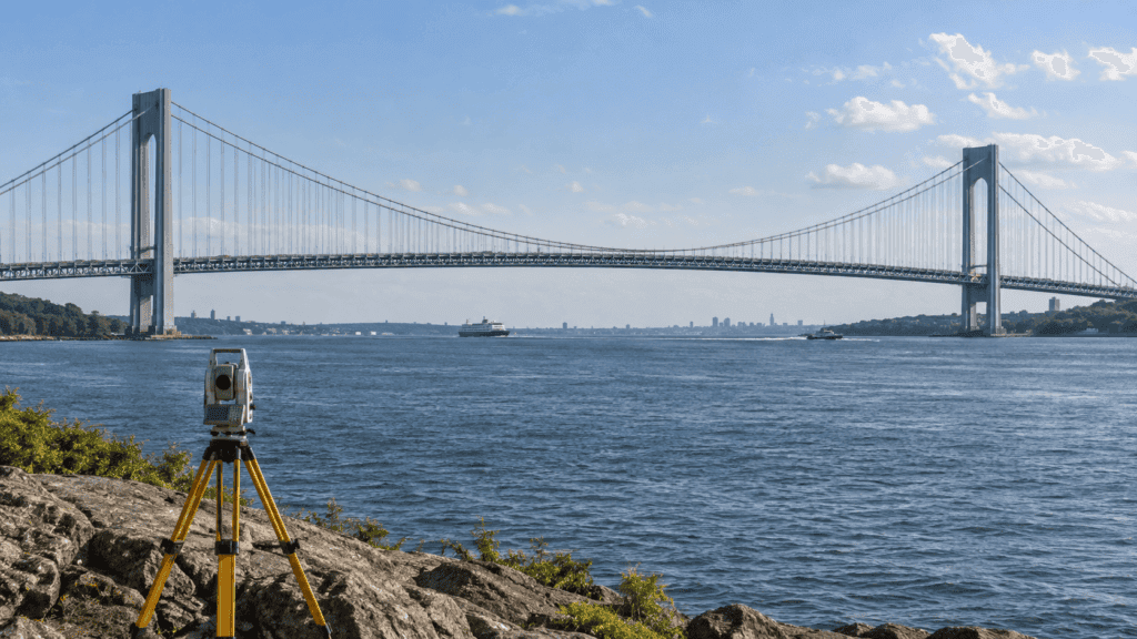
When a railway line, tunnel or canal is built, Earth cannot be treated as a perfectly flat surface. The planet’s curvature changes heights, distances and the apparent direction of a level. Geodesy measures that slightly curved world so major works genuinely fit together.
Measuring an irregular sphere
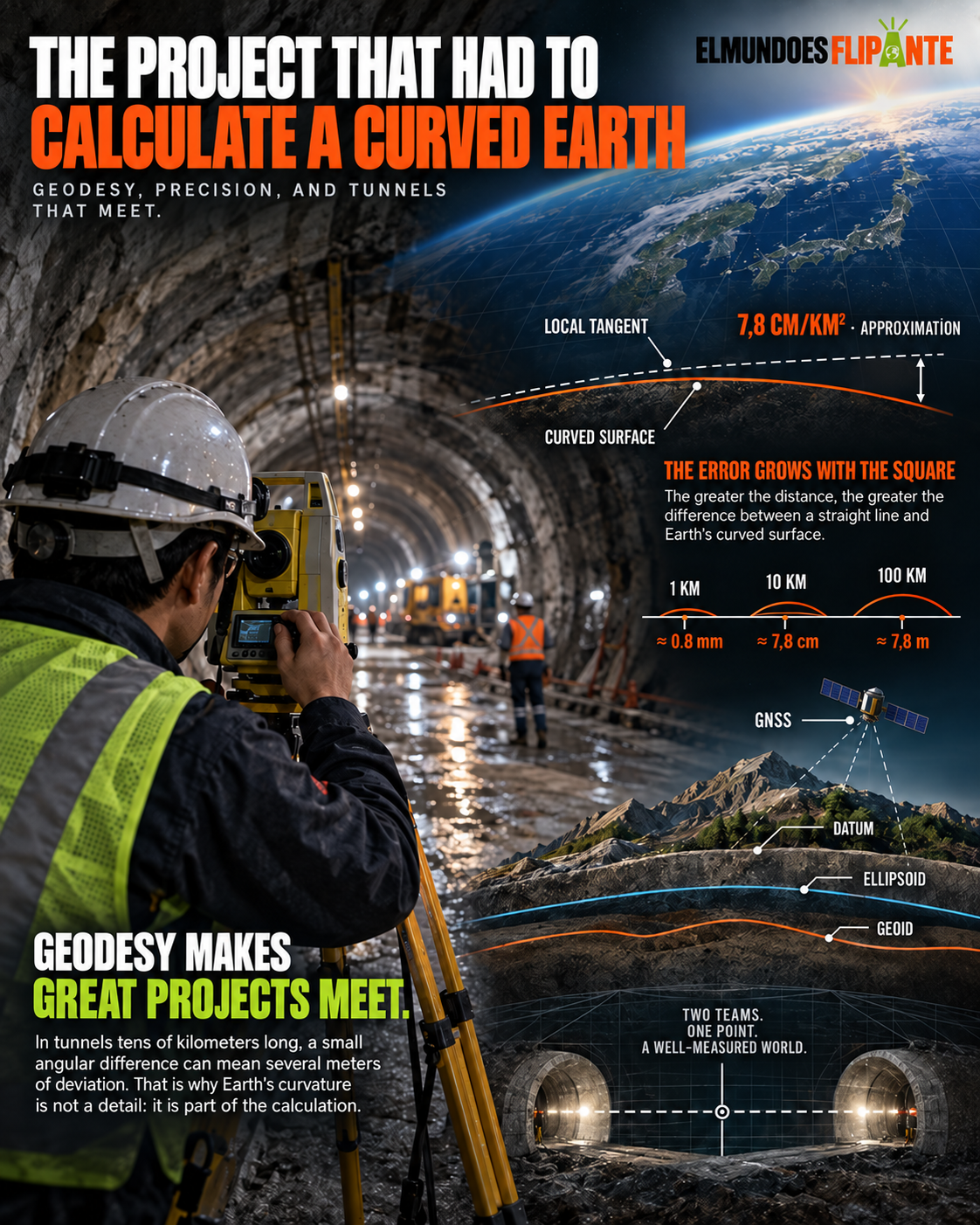
Earth is not a smooth sphere: it spins, is flattened at the poles and has mountains, oceans and variations in gravity. That is why geodesists use reference models and networks of points whose coordinates are continuously reviewed. An error of a few centimeters can grow into a problem of meters when it is extended over kilometers.
Modern instruments combine total stations, GNSS receivers and satellite observations. GPS does not measure an absolute position by itself: it calculates distances to satellites and needs atmospheric models, precise clocks and a reference network. Spain’s National Geographic Institute maintains cartographic and geodetic information that supports public and private projects.
The leveling work that had to be corrected
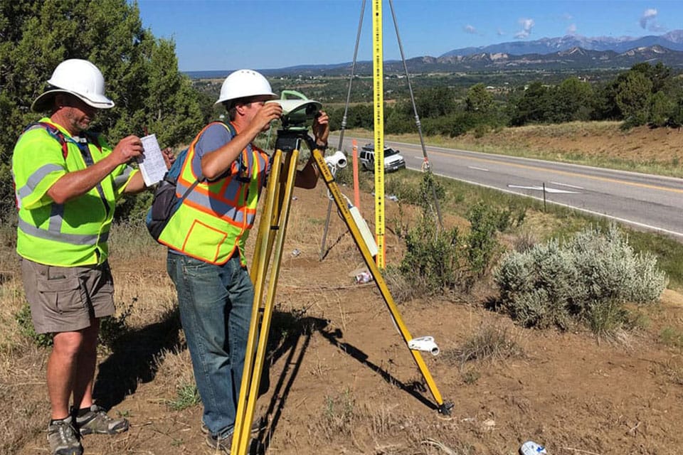
In classical leveling, water in a level seems to offer a perfect horizontal. But that horizontal follows local gravity and, as it advances, separates from a straight tangent line. Teams compensate with short sections, control closures and mathematical adjustments. The routine can look slow; it is what prevents the two ends of a project from ending at different elevations.
Gravity adds another layer of complexity. Two places with the same geometric height can have different gravitational potential. That is why geodesy distinguishes between the mathematical ellipsoid and the geoid, a surface related to mean sea level. Nautical charts, satellites and hydraulic works need to know which reference they are using.
Ten facts for understanding the discipline
Earth has a mean radius close to 6,371 kilometers; the equator measures more than a meridian; tectonic plates move centimeters each year; tides slightly deform the crust; the atmosphere delays GNSS signals; atomic clocks improve positioning; the geoid changes with mass distribution; a geodetic network is adjusted by least squares; coordinates require a reference system; and every measurement must include its uncertainty.
This video explains how satellite techniques and control networks measure a moving Earth:
The invisible infrastructure
Roads, bridges, maps and navigation systems depend on this discipline even though we rarely see it. Every coordinate is a promise that two points mean the same thing to different teams. Geodesy turns curvature, gravity and planetary movement into a shared reference for building, comparing and correcting.
A network that never stands still
Coordinates are not eternal. Tectonic plates move, glaciers load and unload the crust, and a project can settle over time. That is why geodetic networks are observed again and their results are published with a date and an uncertainty. A precise map also needs to know when it was measured.
The combination of satellites and ground stations makes it possible to work at very different scales. A GNSS receiver follows the movement of a bridge; a space mission estimates changes in sea level; high-precision leveling monitors a dam. All those data must coexist in compatible reference frames for comparison to make sense.
The geoid adds a physical dimension that does not appear in a simple photograph. Its undulations reflect how mass is distributed across the planet and convert geometric heights into heights related to sea level. That conversion is essential for roads, canals and supply networks.
Geodesy is, ultimately, a discipline of patience. It repeats measurements, corrects models and accepts that every figure has a margin of error. Thanks to this quiet work, an excavator, a satellite and a mobile app can refer to the same point on Earth.
- Measure a baseline with calibrated instruments.
- Compare observations from different points.
- Correct the model when the data do not fit.
The National Geodetic Survey shows how these networks turn an irregular Earth into reliable coordinates.
Geodesy becomes tangible when a long project forces comparisons between points separated by kilometers. A tiny angular error can shift an alignment and make two teams work with incompatible coordinates. That is why the discipline mixes observation, statistics and a healthy dose of distrust: every result is checked against another measurement before it becomes a construction decision.
The same principle appears in daily applications. A phone calculates a route by combining satellites, maps and reference models; precision agriculture distributes fertilizer because it knows the location of every plot; a drone inspects a dam because it can return to the same point and compare images. Without that geodetic framework, precision would be only a marketing promise.
Earth’s curvature is not an enemy to defeat, but a design condition. When it is incorporated from the start, it makes it possible to lay tracks, bore tunnels and control settlement with a safety that is invisible in the final photograph. Earth does not stand still and is not perfectly smooth; measuring it well is the most sensible way to work with it. Geodetic networks also detect invisible movements: a failing slope, a deforming bridge or crustal change after an earthquake. That monitoring turns an academic specialty into a practical tool for anticipating risk.
Sources consulted for this article
- National Geographic Institute of Spain — Geodetic networks, cartography and reference systems in Spain.
- NOAA National Geodetic Survey — Fundamentals of datums, the geoid and geodetic control.
- National Geospatial-Intelligence Agency — Global models and coordinate reference frames.
- European Space Agency: Navigation — Satellite observation and positioning.
- YouTube: Geodesy — Introductory video about measuring Earth’s shape.